[ SOLUTIONS ]
SIX SECTORS.ONE PLATFORM.
Solutions that move industries — one adaptable flight, data and talent platform.
 MISSION FOOTAGE — AGRICULTURE
01
AGRICULTURE
Precision spraying
- Uniform, targeted spraying that cuts chemical waste
- Crop-health scouting and field mapping
- Season-long service packages, billed by acre
DATA SIGNAL
1,094+ drones already delivered to women SHGs under the Namo Drone Didi scheme
SOURCE: PIB, Government of India
 MISSION FOOTAGE — DEFENCE
02
DEFENCE
Aerial surveillance
- Persistent perimeter and border monitoring
- Night patrols with thermal payloads
- Evidence-grade aerial records for rapid response
DATA SIGNAL
90% of Indian airspace up to 400 ft is Green Zone — no prior permission required
SOURCE: Drone Rules, Government of India
 MISSION FOOTAGE — INFRASTRUCTURE
03
INFRASTRUCTURE
Inspection and mapping
- Structural inspection of bridges, towers and pipelines
- Orthophotos, 3D models and progress tracking
- Survey-grade outputs for EPC and government teams
DATA SIGNAL
3.28 lakh villages surveyed under SVAMITVA using drone mapping
SOURCE: SVAMITVA scheme, Government of India
 MISSION FOOTAGE — MINING
04
MINING
Surveying and monitoring
- Volumetric stockpile analysis without shutting operations
- Haul-road and lease-boundary monitoring
- Safety inspection of highwalls and benches
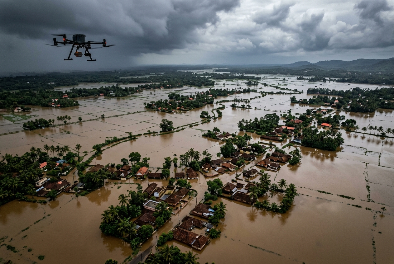 MISSION FOOTAGE — DISASTER MANAGEMENT
05
DISASTER MANAGEMENT
Rapid aerial assessment
- First-look damage assessment within hours, not days
- Aerial eyes over flood and landslide zones
- Relief-planning imagery for district authorities
 MISSION FOOTAGE — ENTERPRISE
06
ENTERPRISE
Logistics support and data analysis
- Last-mile aerial logistics support
- Site intelligence and periodic reporting
- Custom data pipelines from flight to dashboard